Tidal River Clyde Flood Model Updated
Tidal River Clyde Flood Model Updated
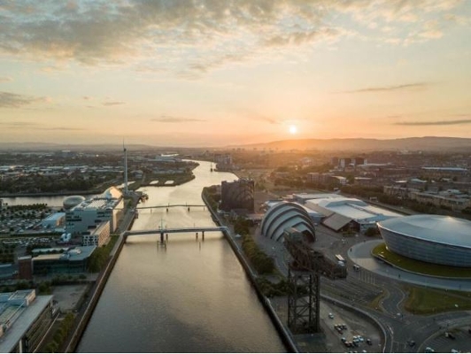
Glasgow City Council and SEPA have produced a new River Clyde Tidal Flood Model, covering the area on the river between Dalbeth in Glasgow and Greenock.
This collaboration between Glasgow City Council and SEPA will inform management of flood risk on the Clyde, and replaces the River Clyde Flood Management Strategy model.
SEPA and local authorities agree that the model represents the best available understanding of current and future flood risk from the tidal Clyde for coastal flooding events, including storm surges and sea level rise, to the year 2100.
The model confidently supports the information on the SEPA Flood Maps, available for a number of years now at: https://www.sepa.org.uk/environment/water/flooding/flood-maps/. The SEPA Flood Maps will be updated in due course to take account of the information from the model.
Information from the model will be used by developers, planners, investors and organisations and individuals with an interest.
Further information on the new River Clyde Tidal Flood Model is available here - https://www.glasgow.gov.uk/index.aspx?articleid=29416
(June 2022)


