Kilsyth Flood Study Update
Kilsyth Flood Study Update
In response to Killsyth being recognised as an area vulnerable to flooding, North Lanarkshire Council commissioned studies to identify potential solutions to reduce the risks of flooding, improve the health and wellbeing of the community, and identify opportunities to improve the environmental condition of local watercourses.
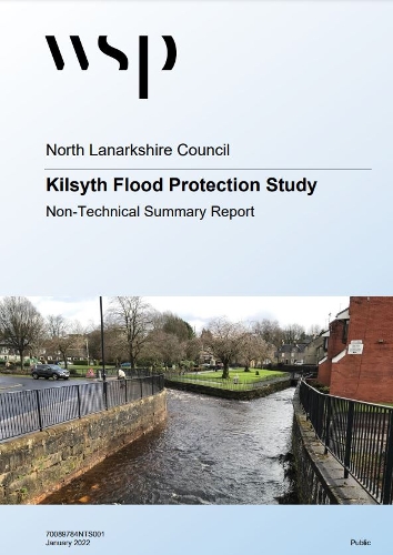
The Kilsyth Flood Protection Study, Non-Technical Summary Report was subsequently published in January 2022. A copy of the report is available on the North Lanarkshire Council website, here - https://www.northlanarkshire.gov.uk/your-community/working-communities/consultations/live-consultations/progress-update-kilsyth-flood-studies
The report provides details of the options considered, and the preferred option to reduce flood risk by diverting flow (up to 6m3/s) during flood events from the Colzium Burn and Garrell Burn to the local Canal Feeder (know locally as the Mill Lade) that feeds Townhead Reservoir (also known as Banton Loch) and is used to supply the Forth and Clyde Canal.
Discussions are currently ongoing between North Lanarkshire Council and Scottish Canals to formalise this proposal and allow detailed design to commence. Further updates will be provided as key milestones are reached.
In parallel, North Lanarkshire Council continue to undertake maintenance actions to improve the conveyance capacity ensure the full conveyance capacity of the Ebroch Burn and Garrell Burn is available.
An ArcGIS storymap that uses images and text to provide a summary of the catchment, flood risk, options considered and preferred approach to manage risk, is available here - https://storymaps.arcgis.com/stories/6d37b67c92674d0aa61a209fa2f2b06c
(February 2022)


